

The Hidden Highways of the Salish Sea
Learn how to spot current seams, conserve energy, and find smoother water while paddling the Salish Sea.

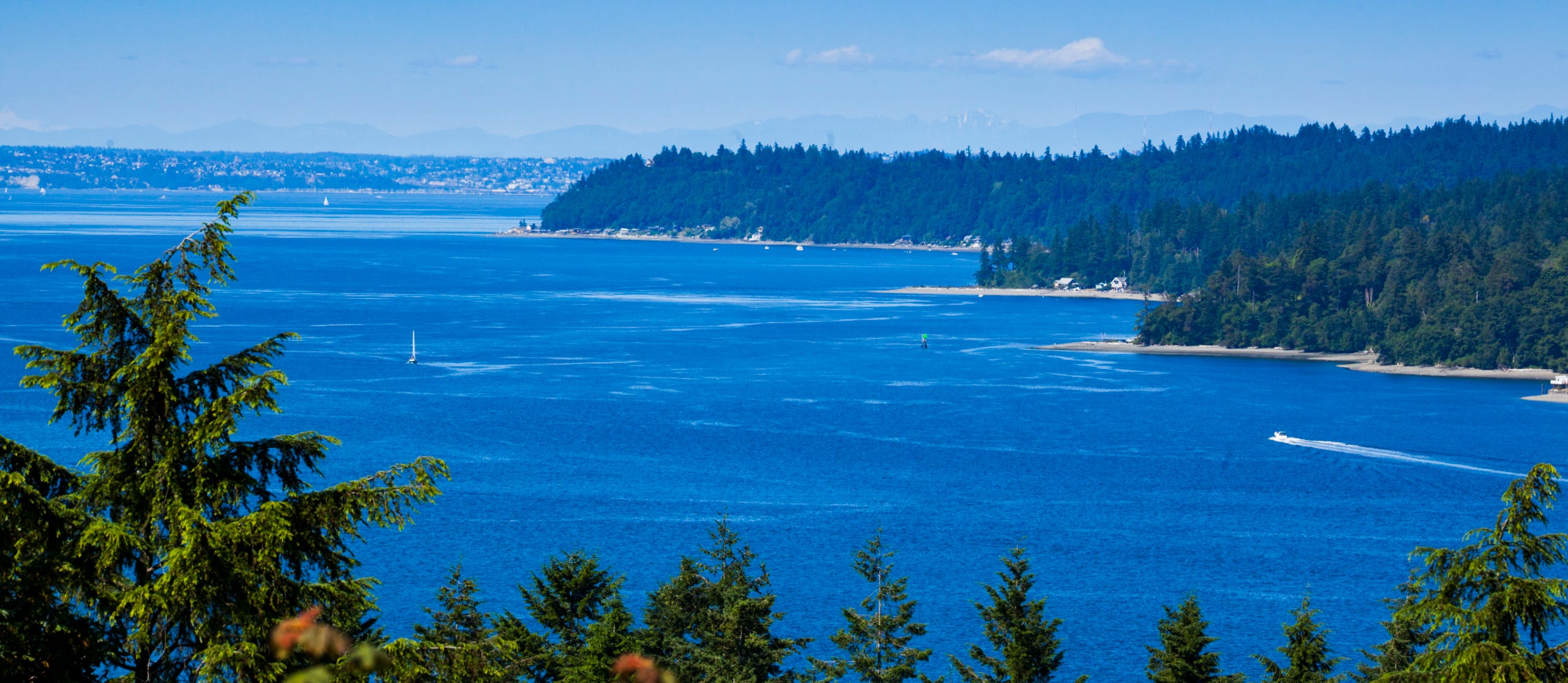
Have you ever noticed those glassy patches on the water that look like oil slicks on the Salish Sea?
While training for the Seventy48 race in 2019, a friend who is a longtime sailor suggested using “seams” to get an extra boost on the water. He pointed to those glassy patches and explained that they mark currents moving through the water column. By getting into one, I could get a small boost—hopefully in the direction I wanted to go.
During the race, I tested his theory and definitely noticed an increase in speed. It helped during an already grueling race, where I was looking to take advantage of every opportunity to conserve energy and make forward progress.
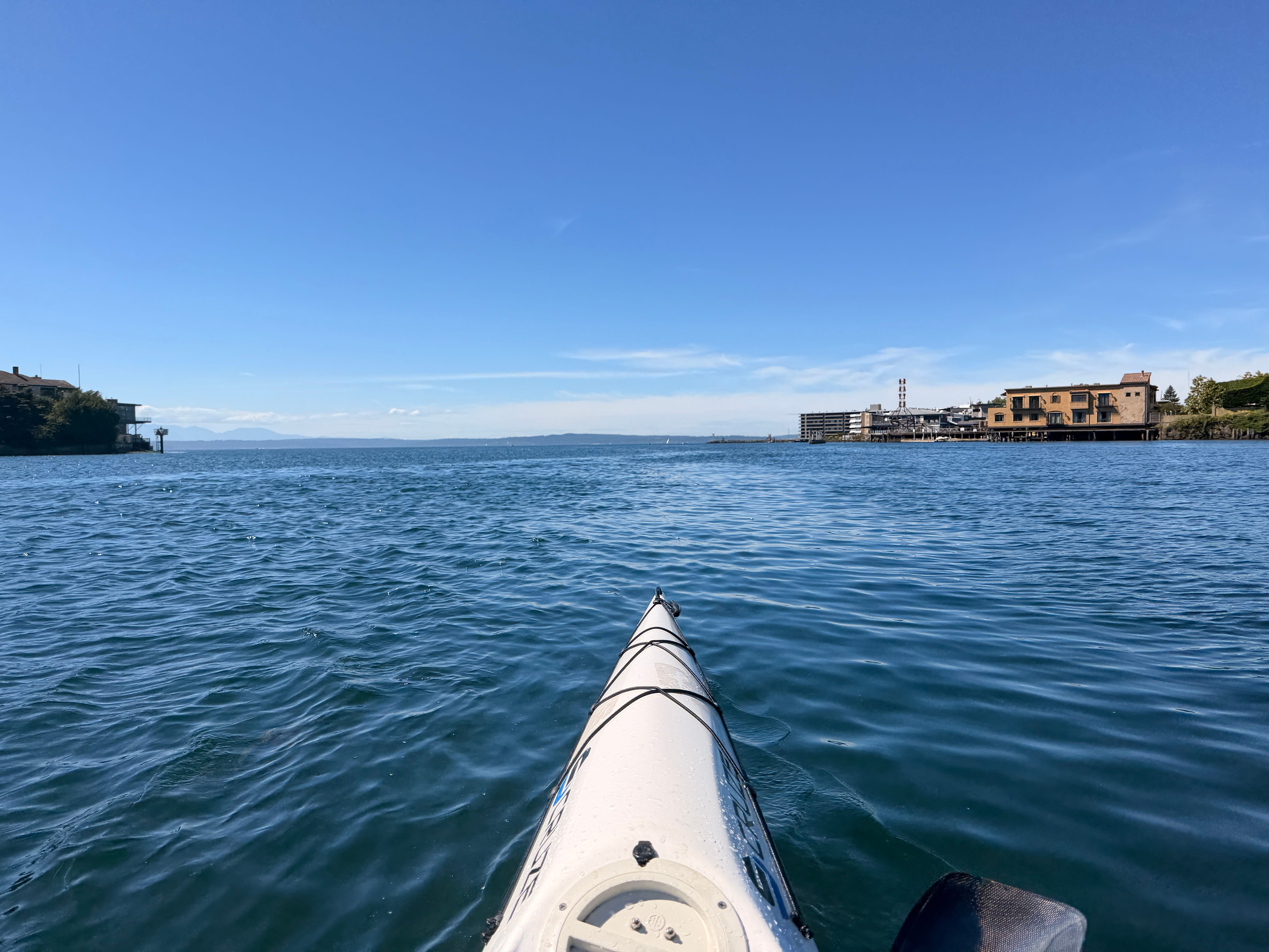
In the years since, I’ve continued using seams for the same purpose. I’ve also found that they can knock down wind waves, making for a slightly smoother ride on rough days.Seam on lower Salmon Bay in Ballard, Seattle.
Definition of seams per Google:
Tidal seams are the visible boundaries or lines in the water where two adjacent currents, moving at different speeds, temperatures, or directions, collide or rub against one another.
Tidal seams act as a natural conveyor belt and shelter for marine life. The faster-moving water carries food (like baitfish or plankton), while the slower water acts as a resting area for predators.
For example, on a moving tide in coastal estuaries, game fish will often tuck into the slower side of the seam to conserve energy, darting out into the fast current to ambush passing prey. For this reason, they are prime locations for both anglers and boaters navigating coastal waters.
Photography for this Post
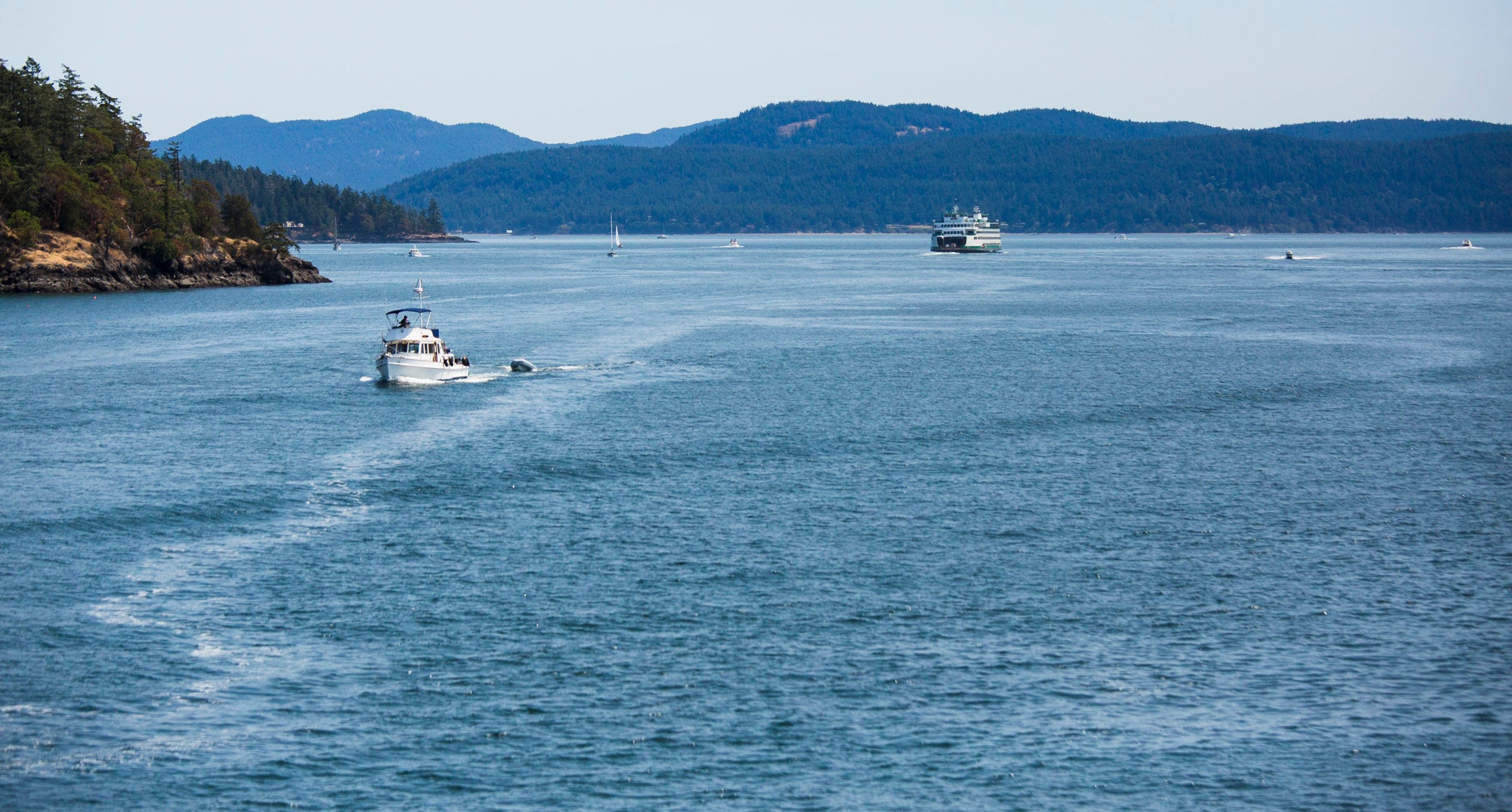
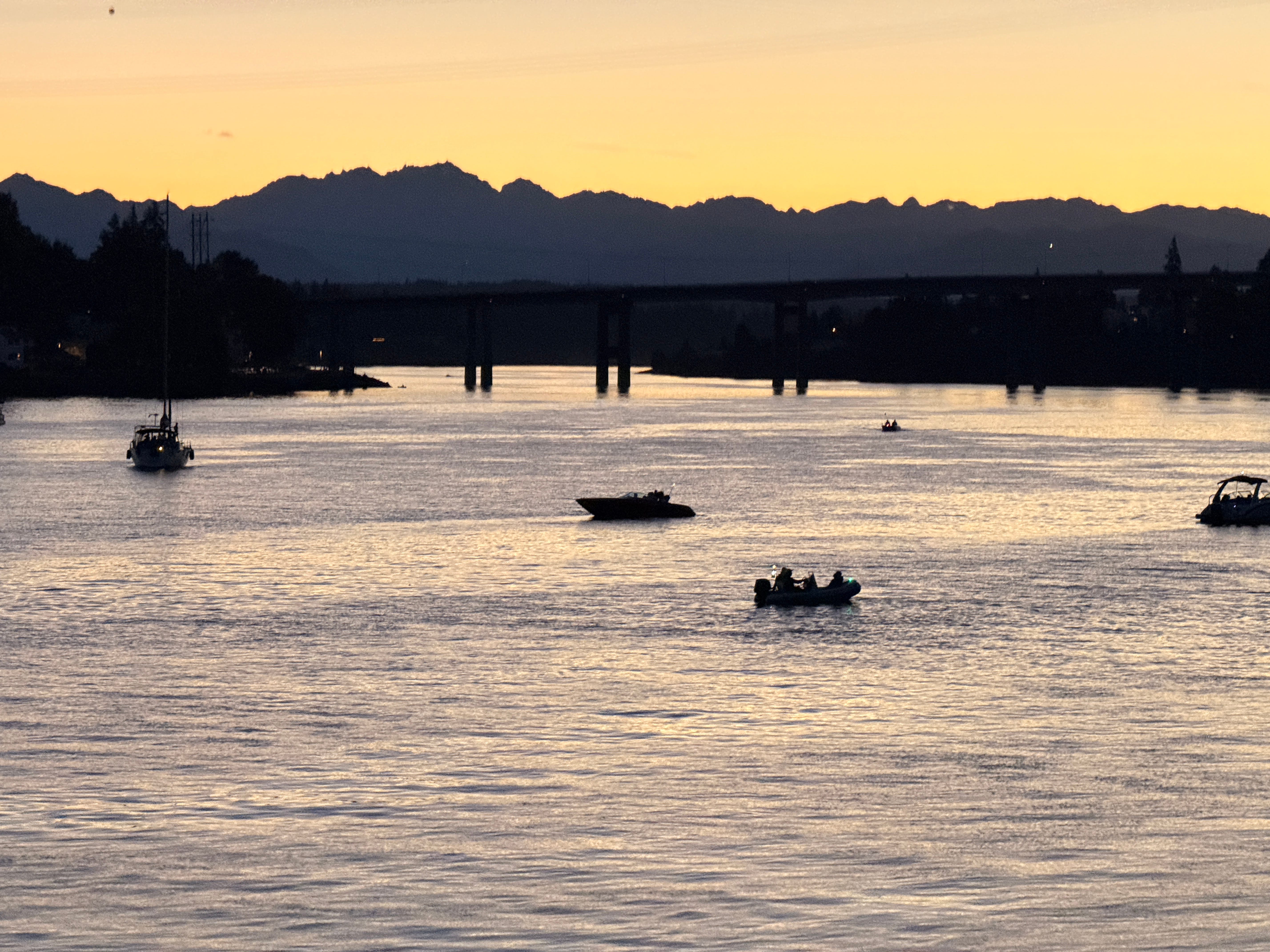
All images here were shot on a Canon 5d Mark 3 with a F4 80-200mm lens and iPhone 17. Learn more about how I shoot on and off water in this post.
My Related Posts:
Paddling the Current in Bremerton’s Port Washington Narrows
How to Use Tidal Currents to your Advantage
Check out my other SubStack:
Salish Sea Now and Then - Explore past and present shoreline views of the Salish Sea (Puget Sound, San Juans, Strait of Juan de Fuca and BC Gulf Islands)